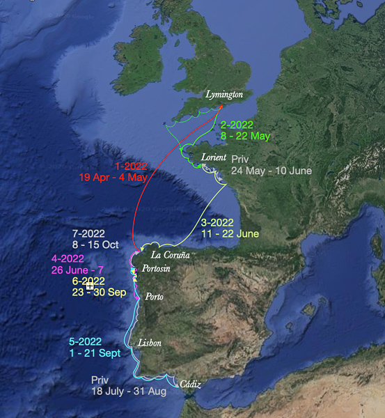
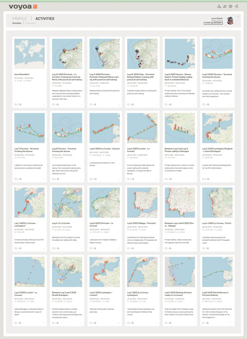
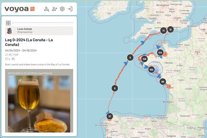
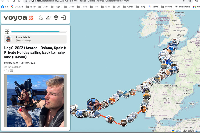
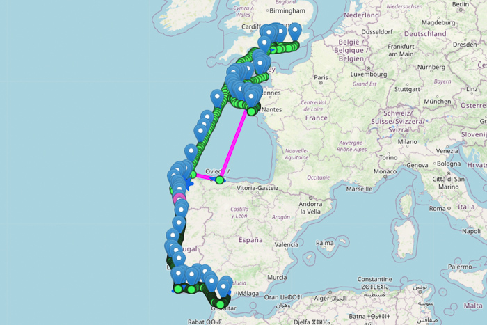
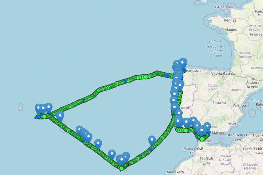
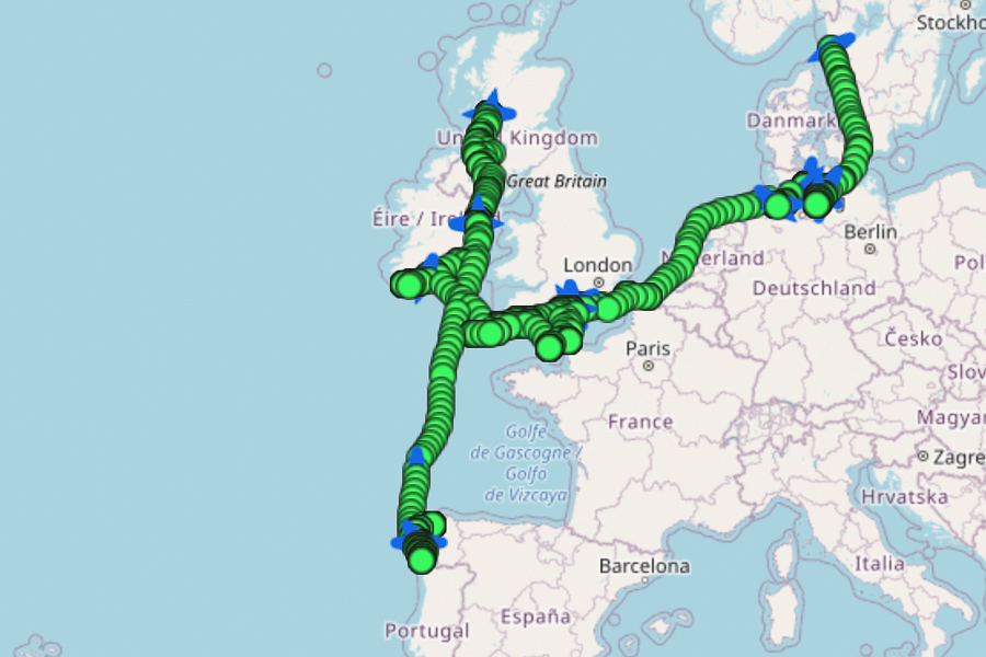
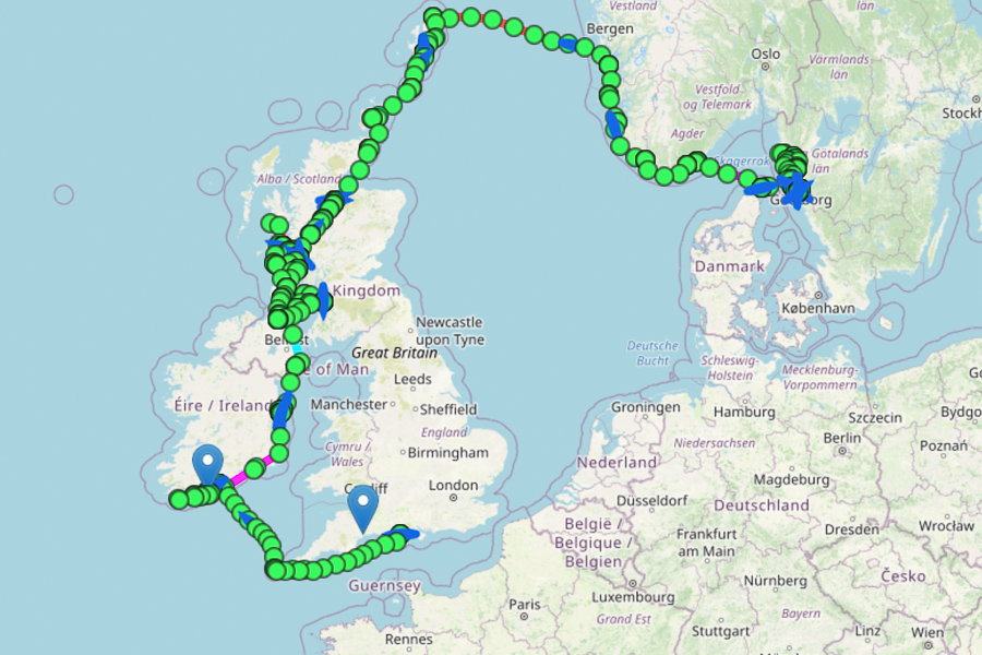
Follow us on Voyoa, see our positions with photos and comments.
We use Voyoa showing our track years back, sharing events, comments and photos! We create wonderful memories with friends and other sailors!
Click on the below years to see our tracks and photos.
We track via Iridium Satellites using Garmin inReach. Positions are fed to Voyoa every 10 minutes. Alternatively, one can also feed positions using the Voyoa App on a mobile phone. It collects positions even offshore and then feeds it to Voyoa as soon s you have internet coverage on your phone again.
It’s all very new and programmed by my friend’s company aiticon, Germany. It is being developed and improved constantly. Click on the below years to see our tracks and photos publicly. Or, alternatively you can register as well and belong to the Voyoa community. If you register on voyoa.com you can create an own account. You can follow your friends, give comments and likes and upload your own tracks either publicly (like me) or only visible to only family and friends
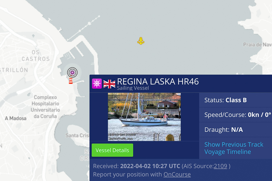
Alternatively, you can still see our latest position on MarineTraffic here, provided we are within an AIS-observation area. Further offshore or in remote places, AIS reception does not reach the AIS receivers who feed the information into MarineTraffic. If we are not visible on Marine Traffic, we have most probably not sunk, we are just not reaching any of the MarineTraffic receivers ashore.

